Map Projections
How to use
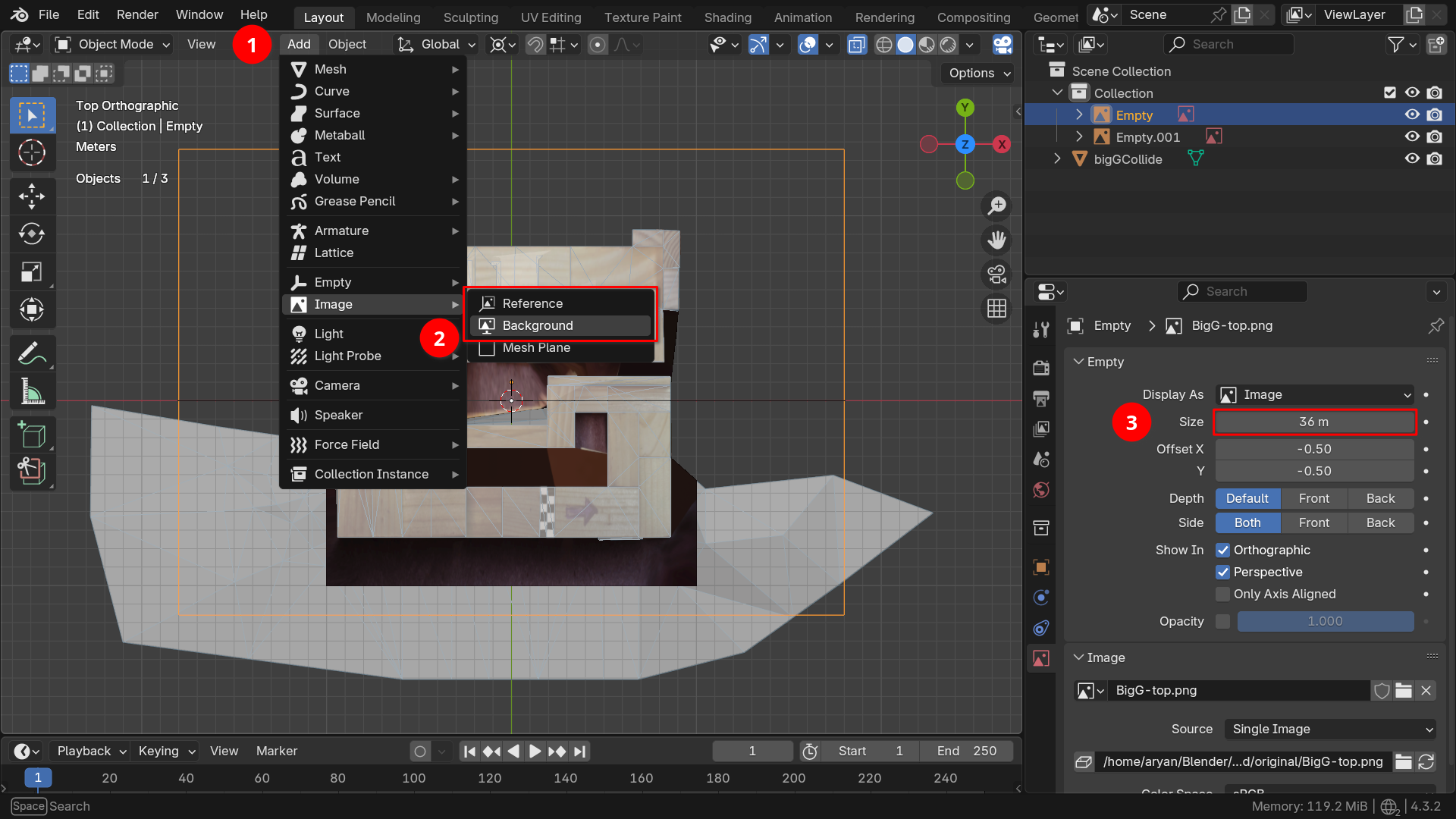
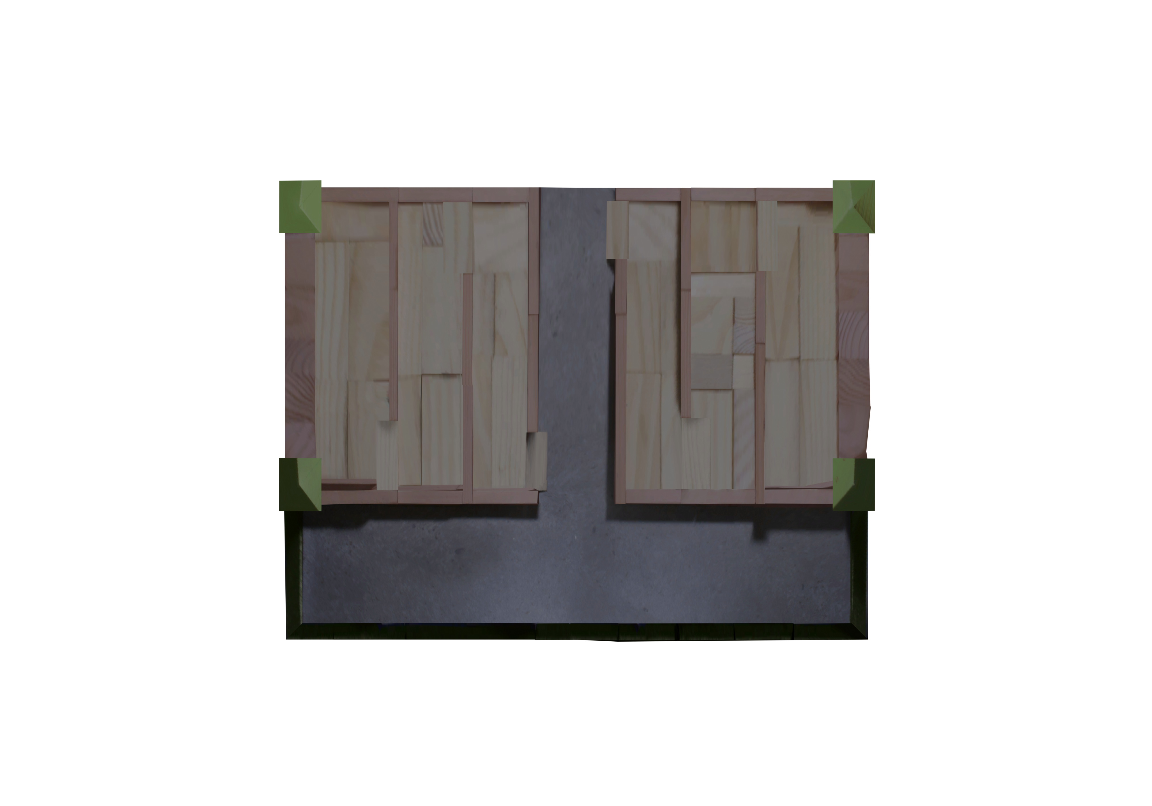
In the 3D Viewport with Object Mode selected, Click Add > Image and then choose either Reference or Background. Choose the appropriate projection of the map you want to refer to.
After the image is added to the scene, set the rotation correctly. In the Object Data Properties Panel of the image, set the Empty > Size field to 36m. This will ensure that the imported image is the exact same size as the imported original models.
If you are wondering where the magic 36 value is coming from -- it was the scale of the orthographic camera used to generate the projection.
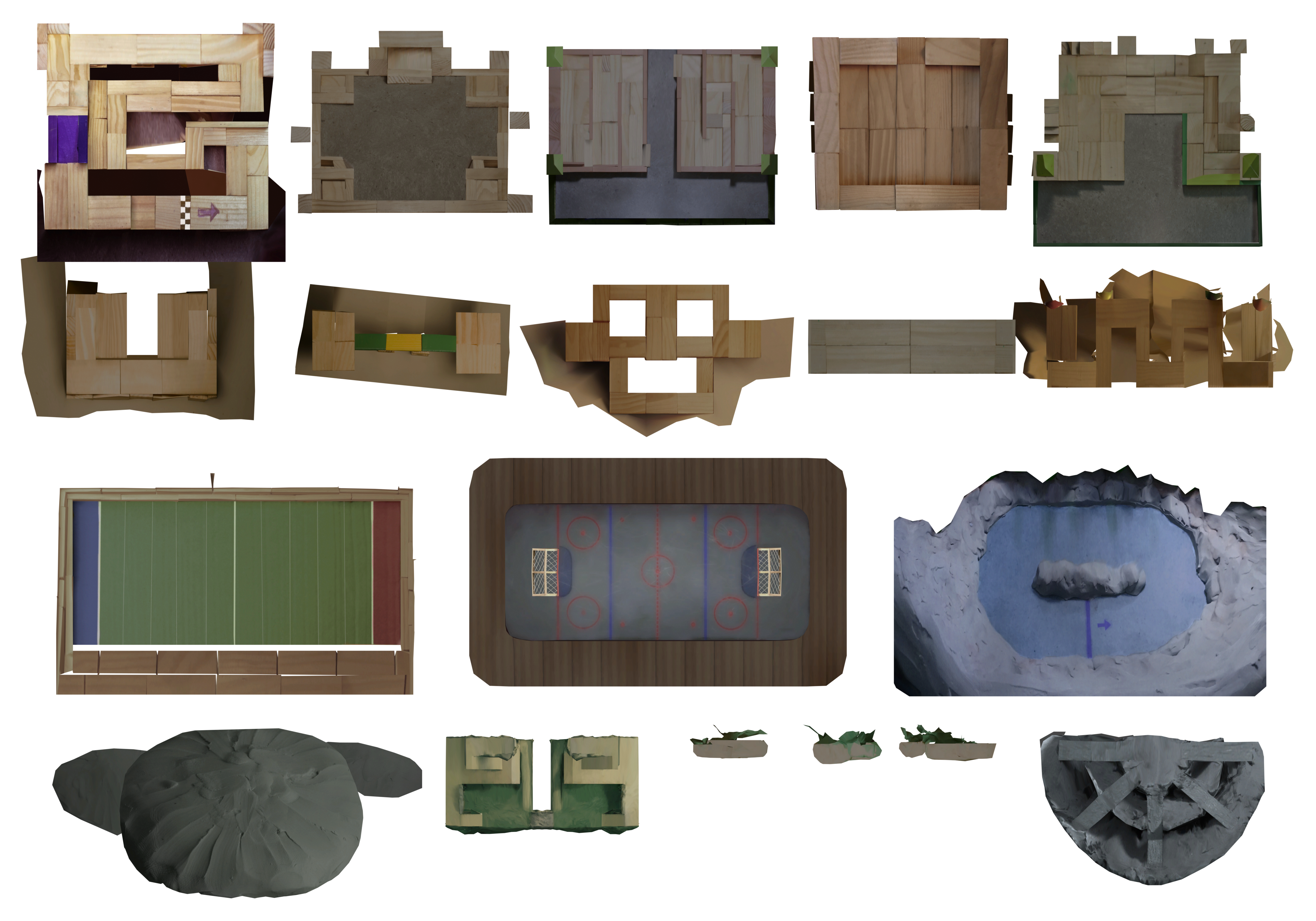
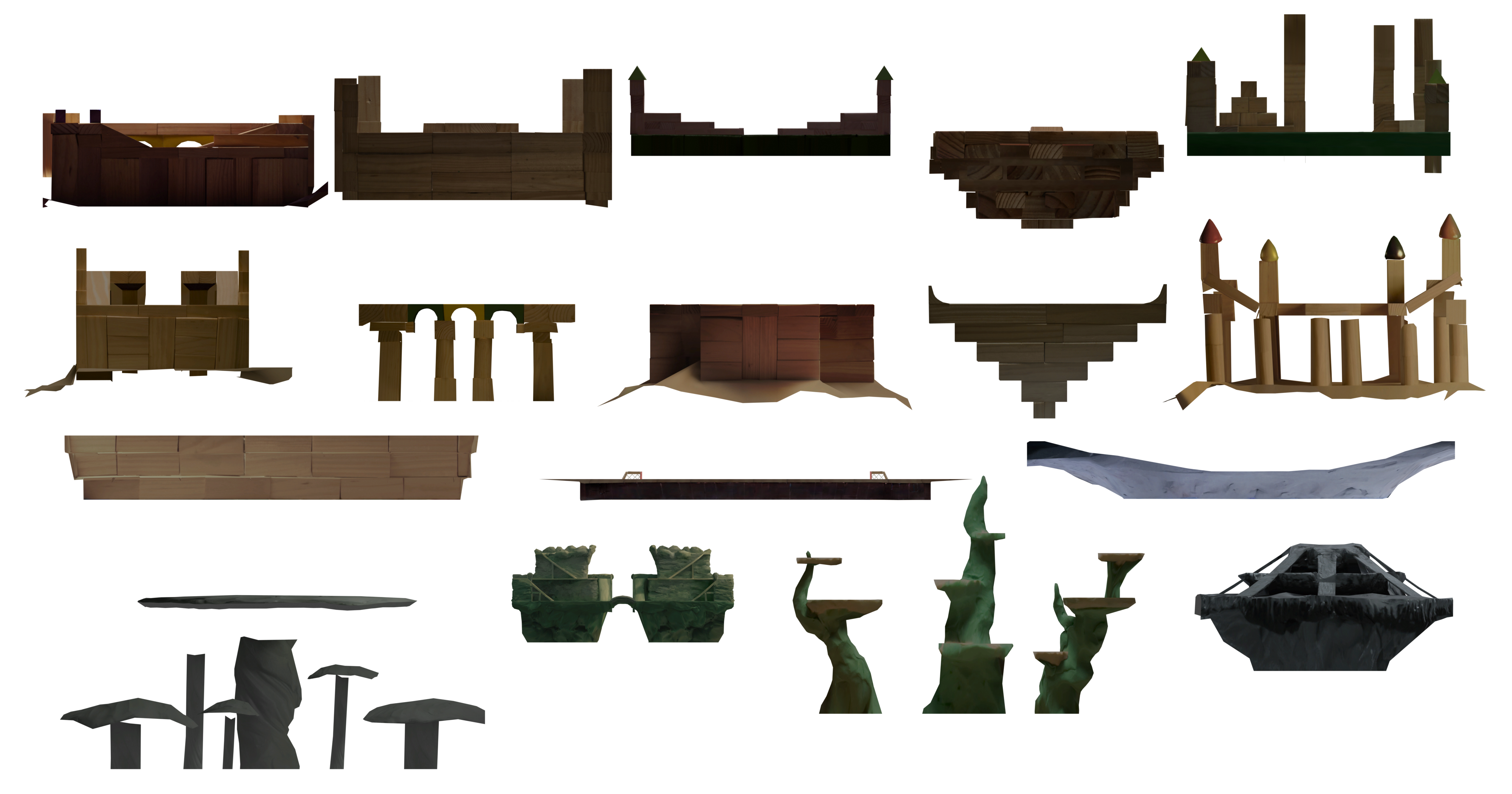
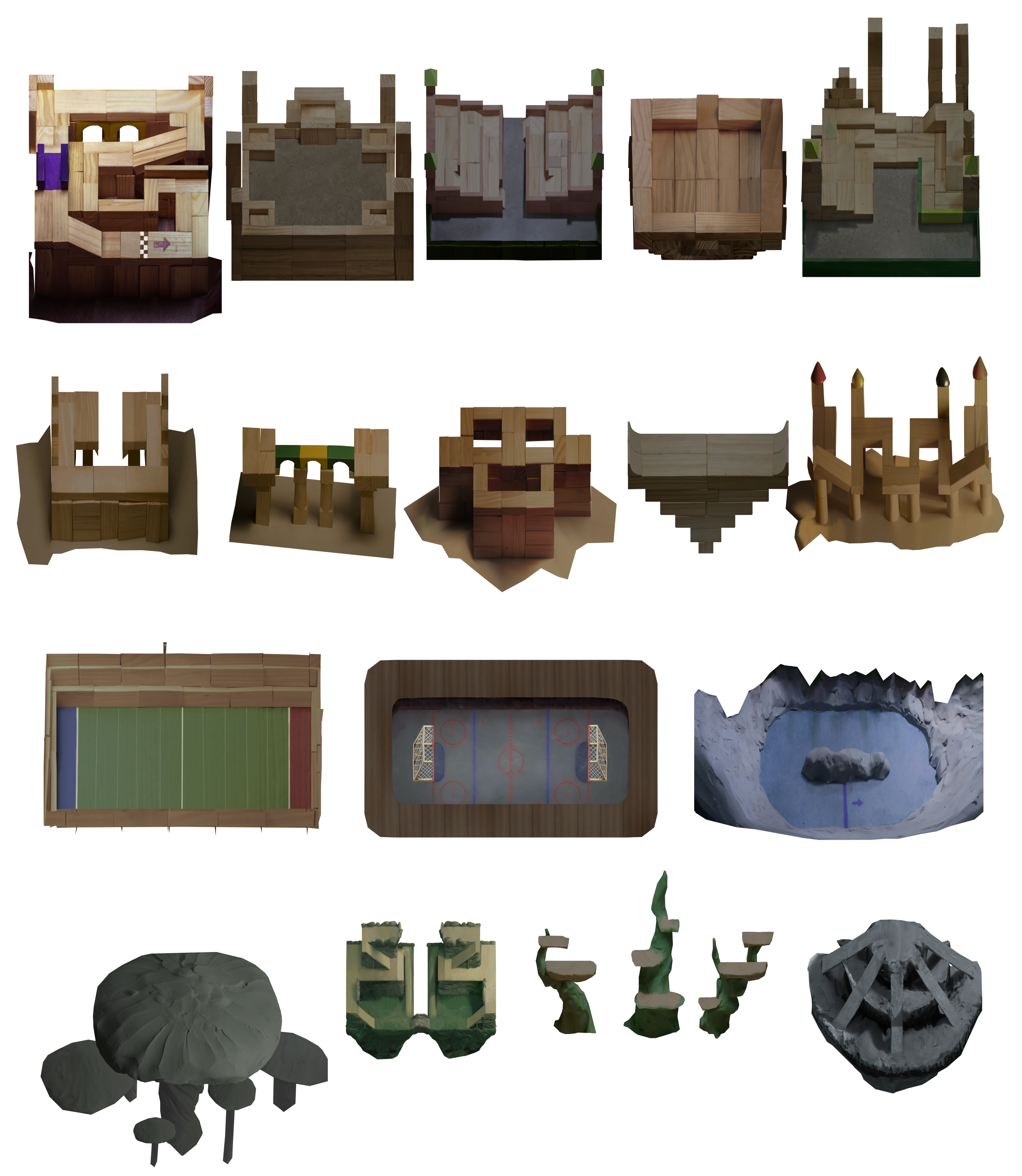
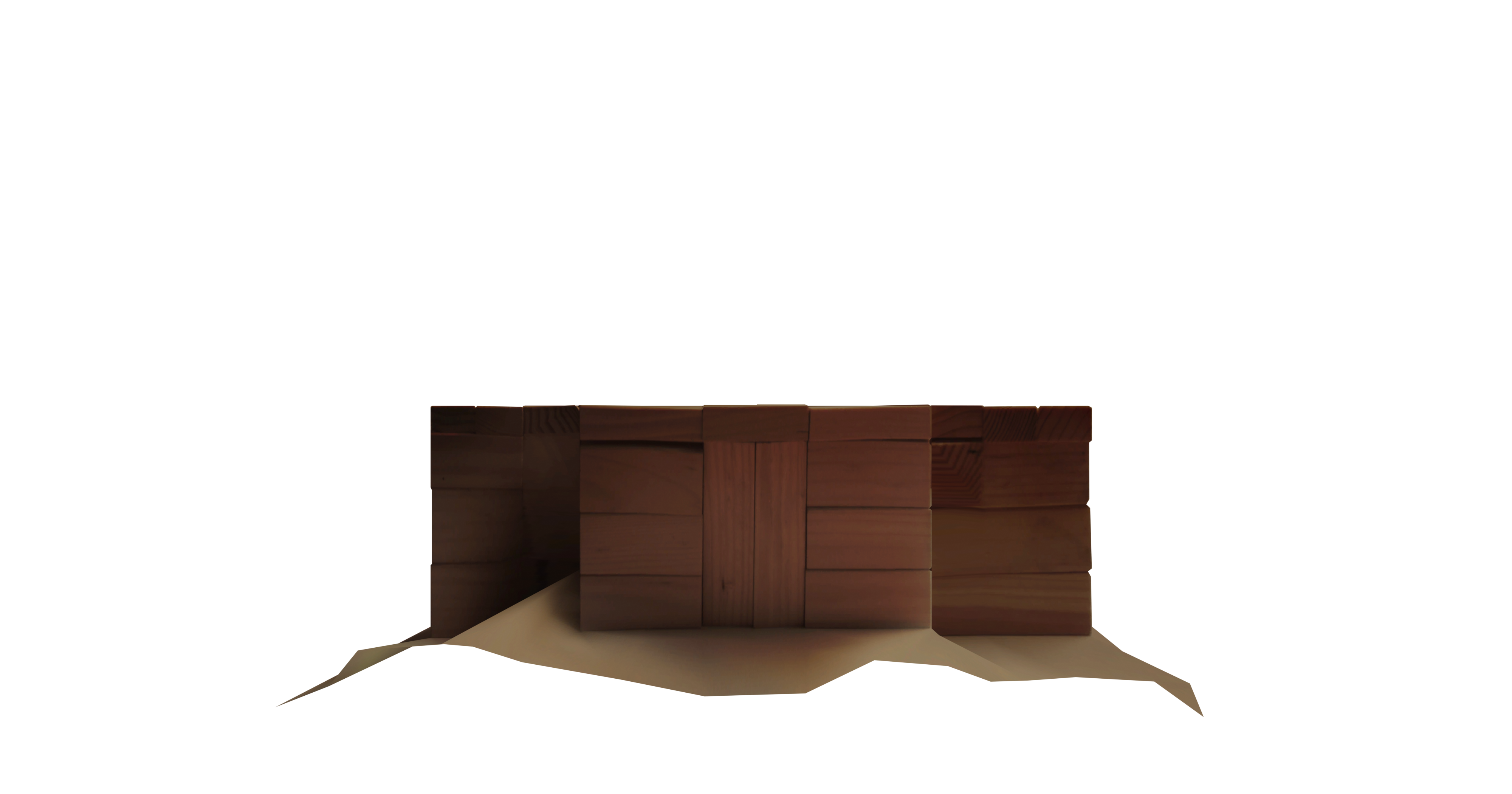
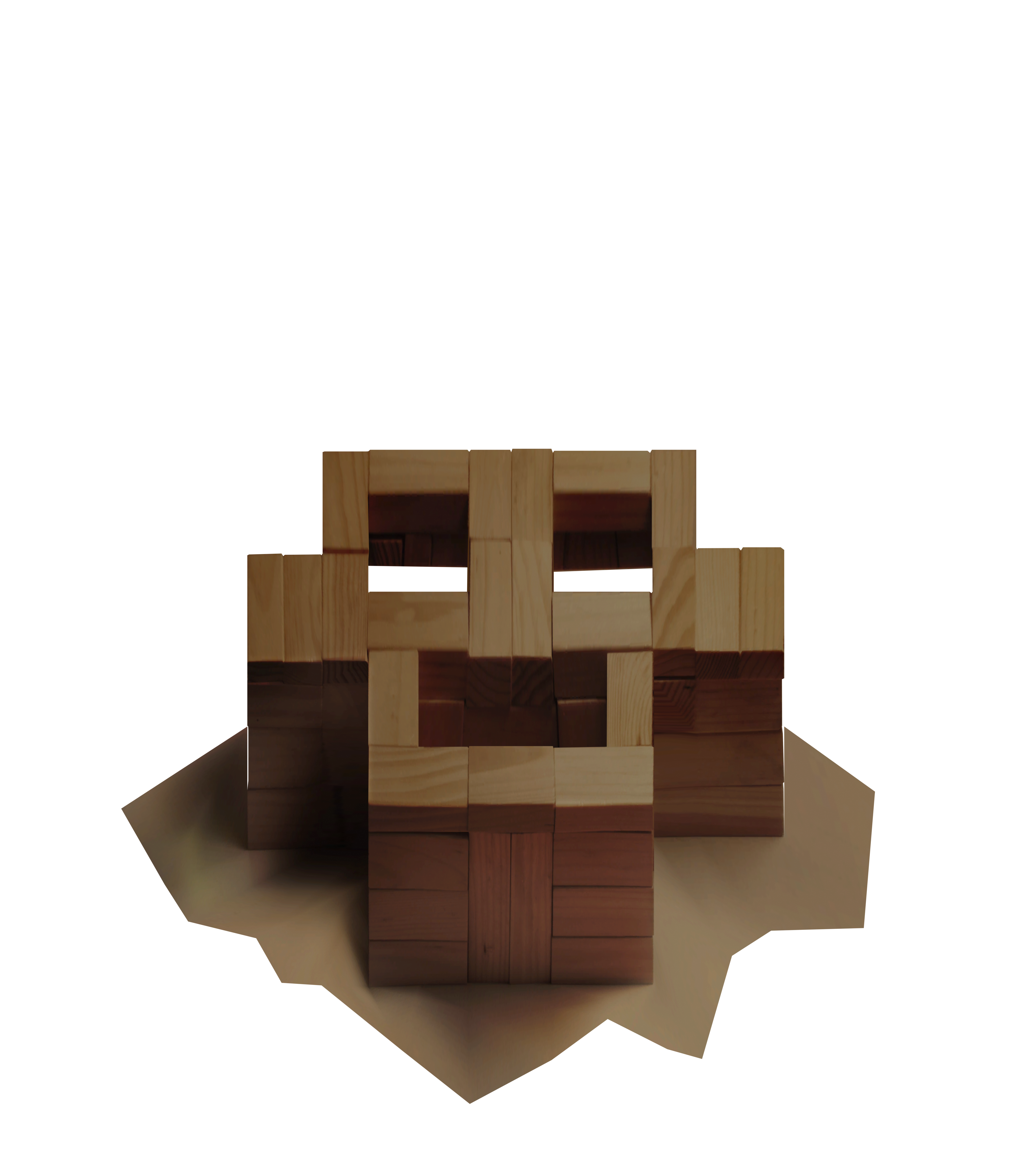
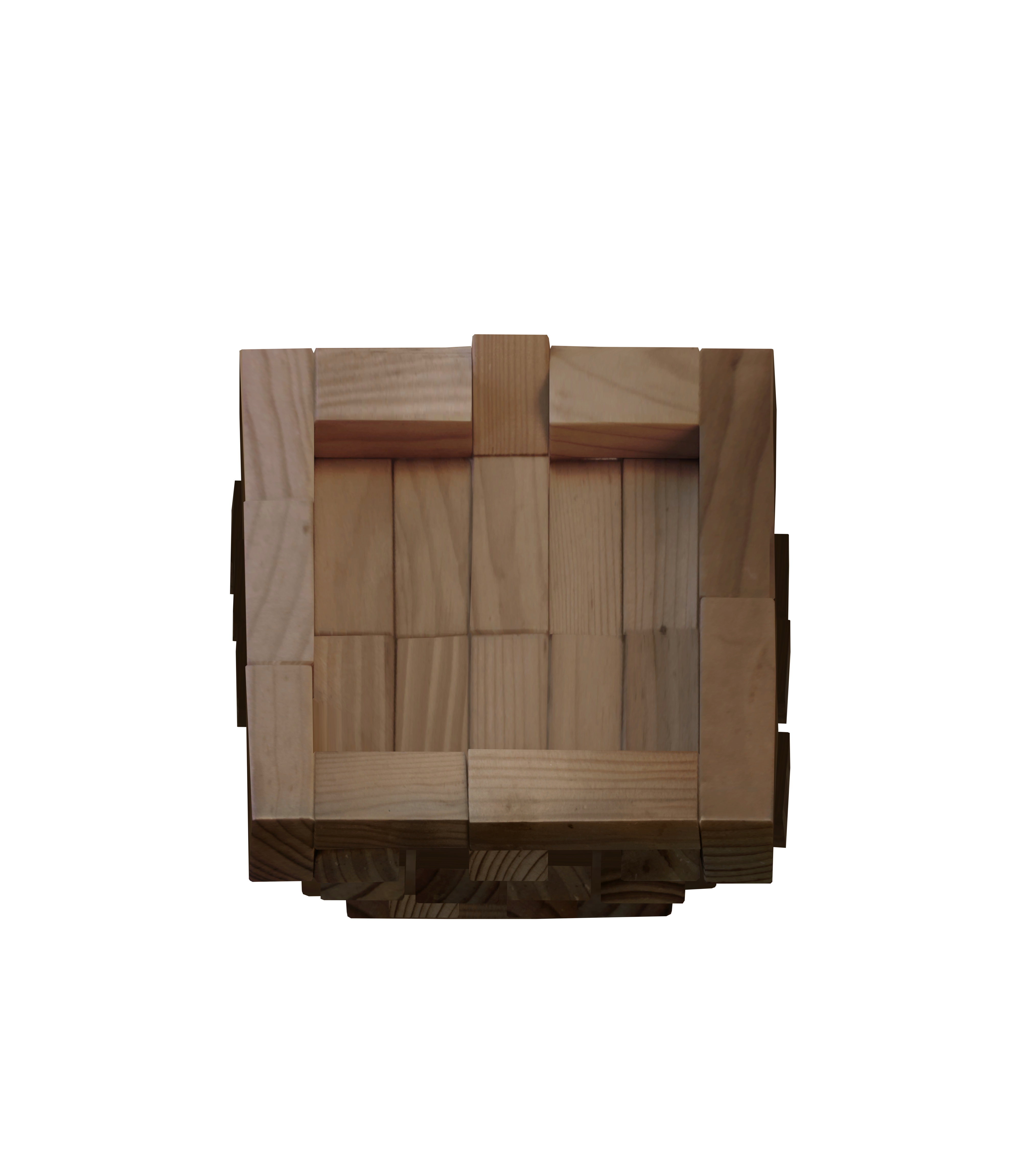
Maps
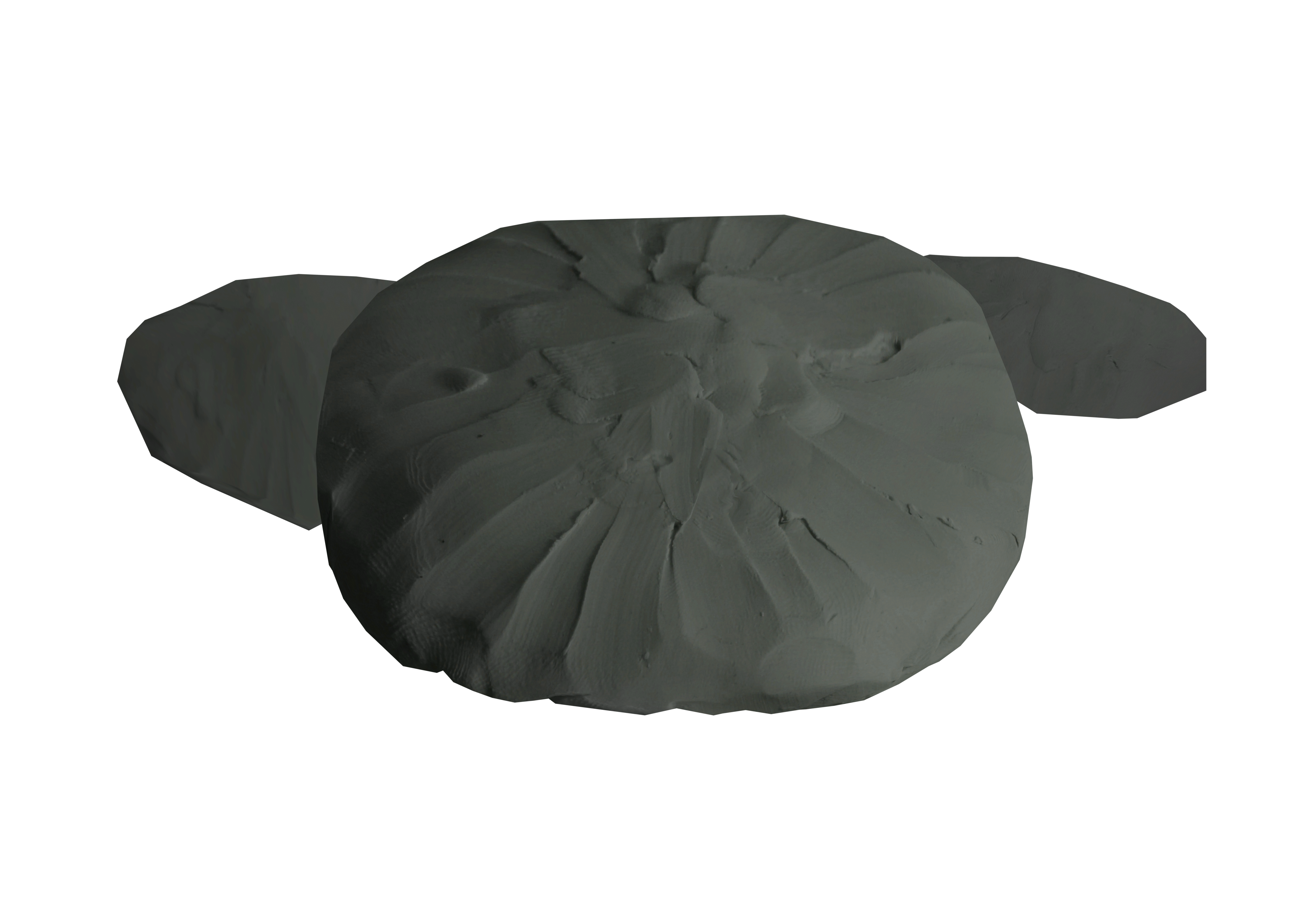
Big G
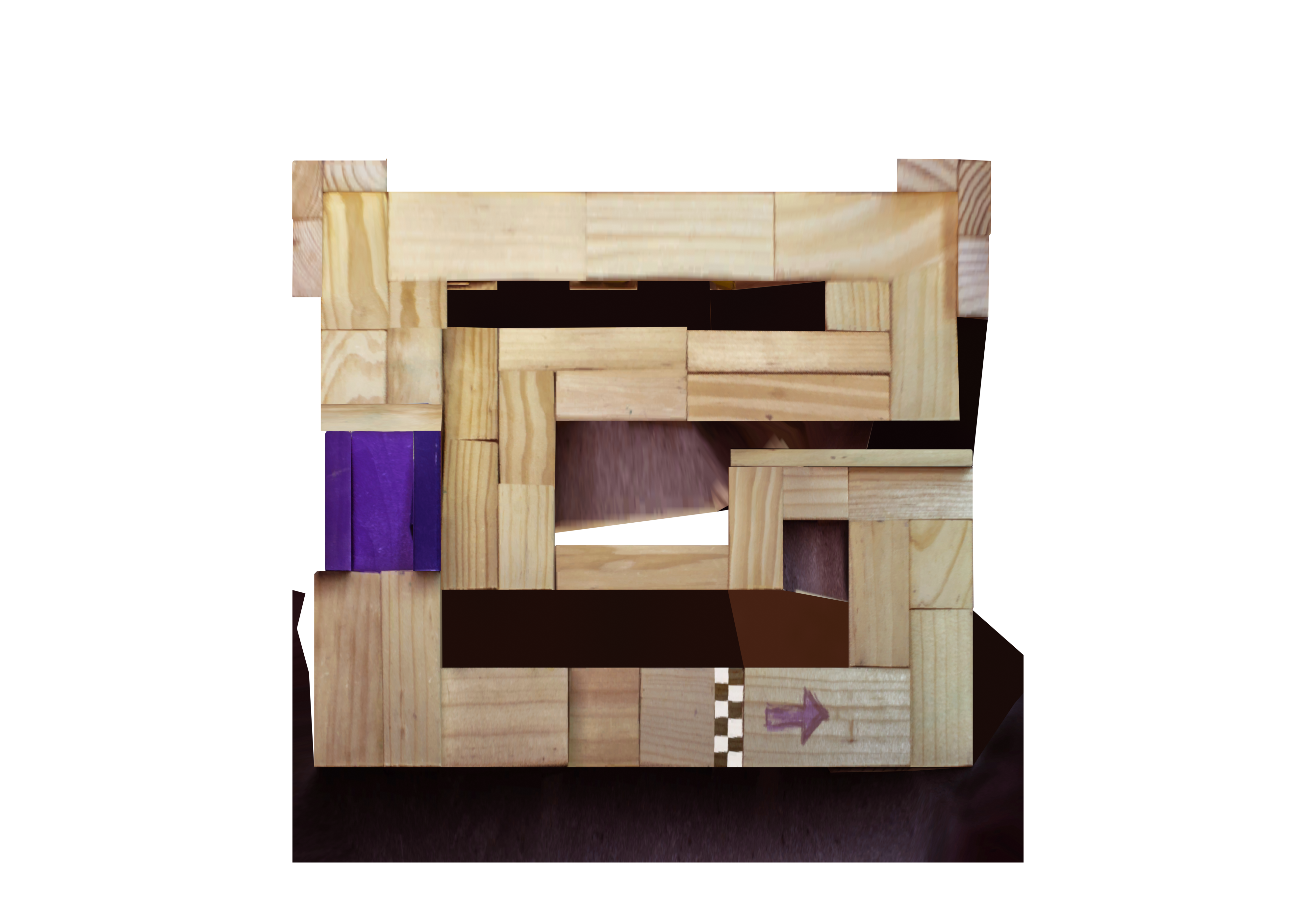

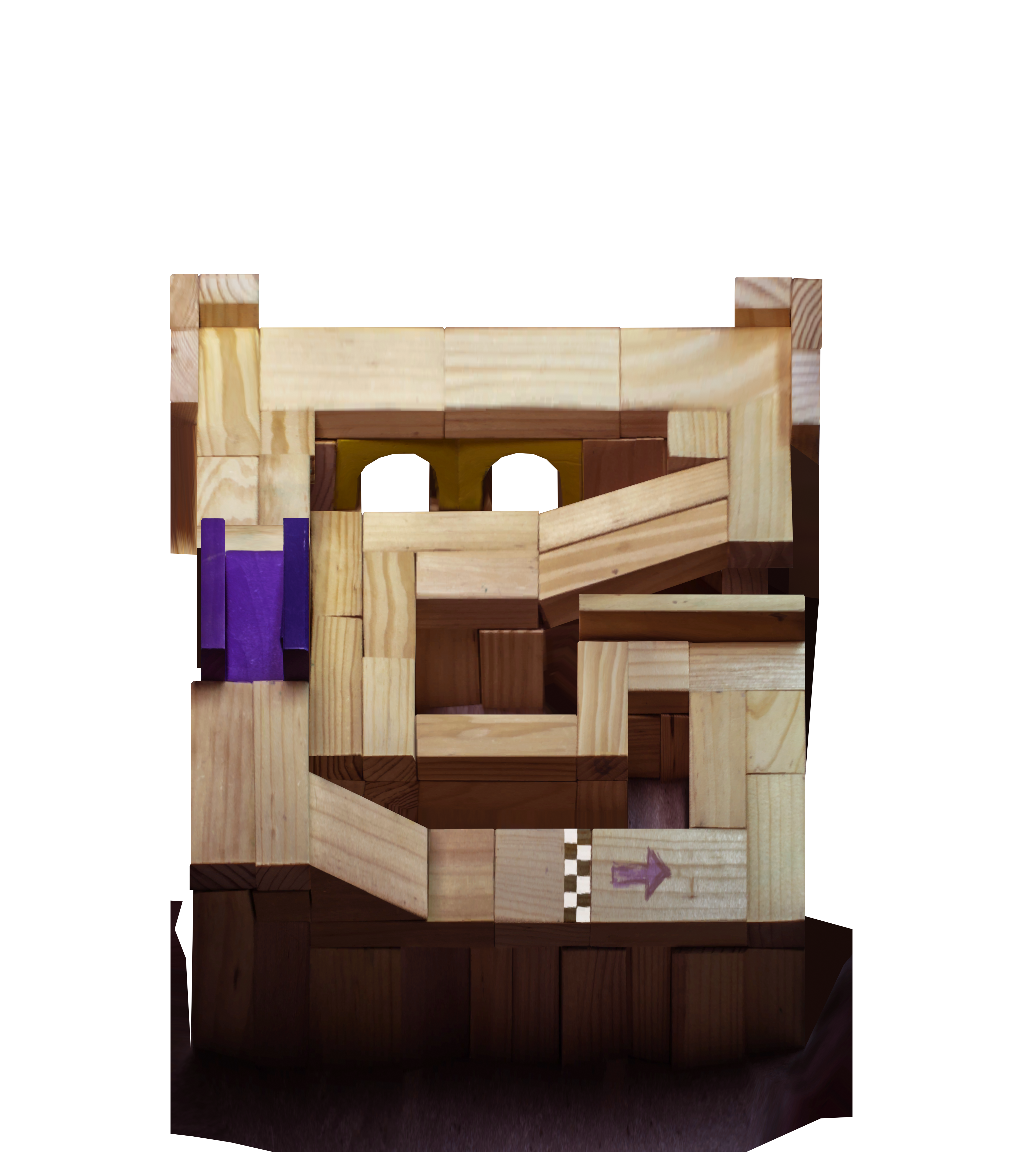
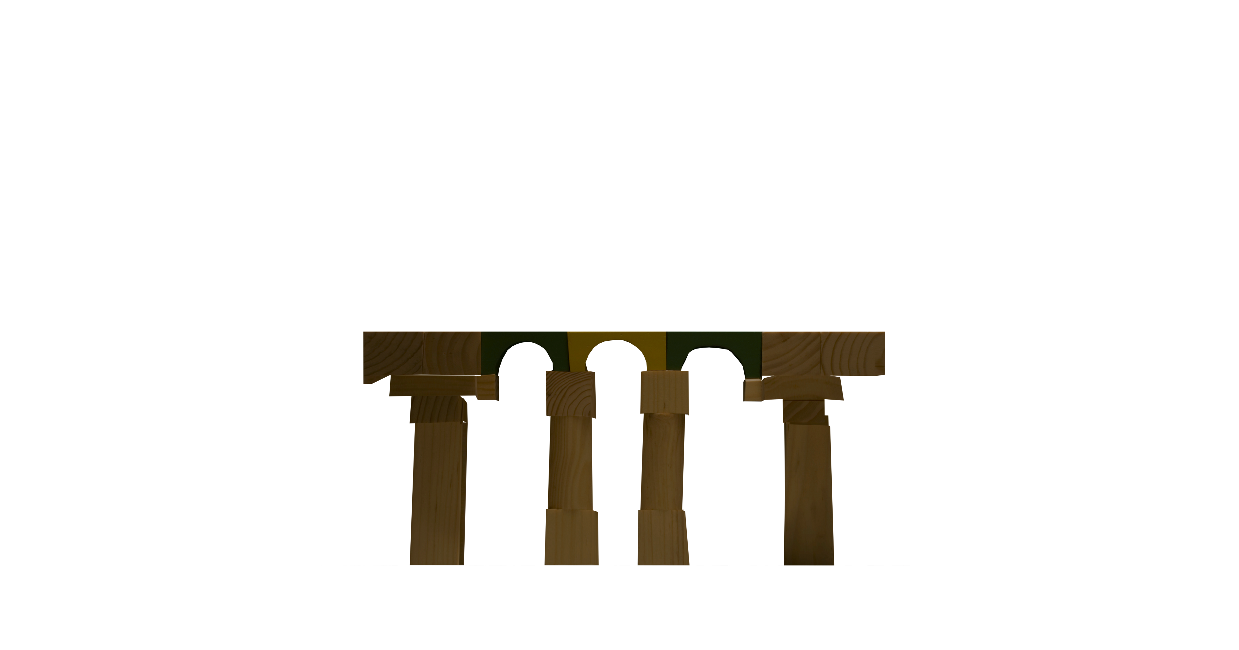
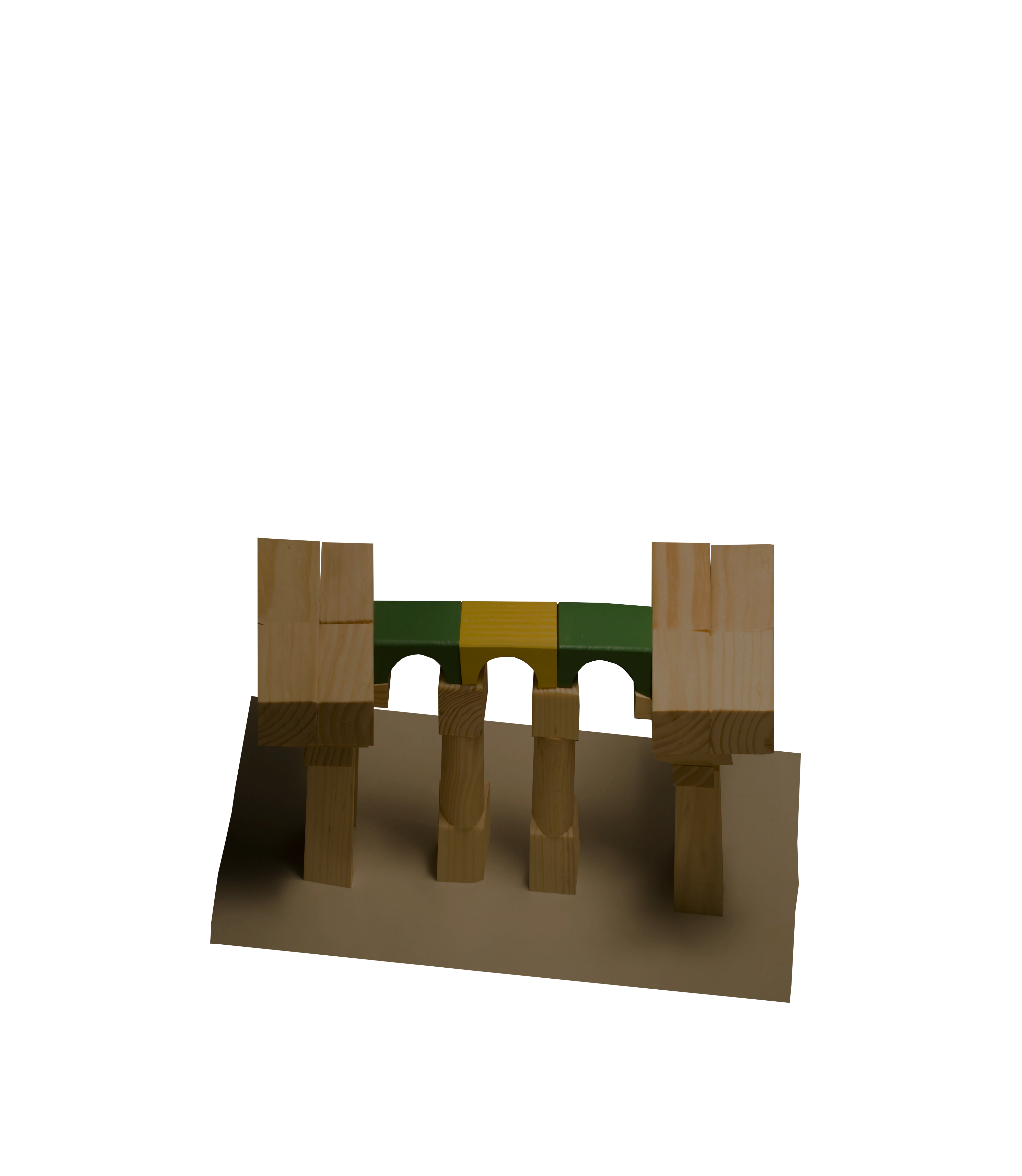
Bridgit

Courtyard
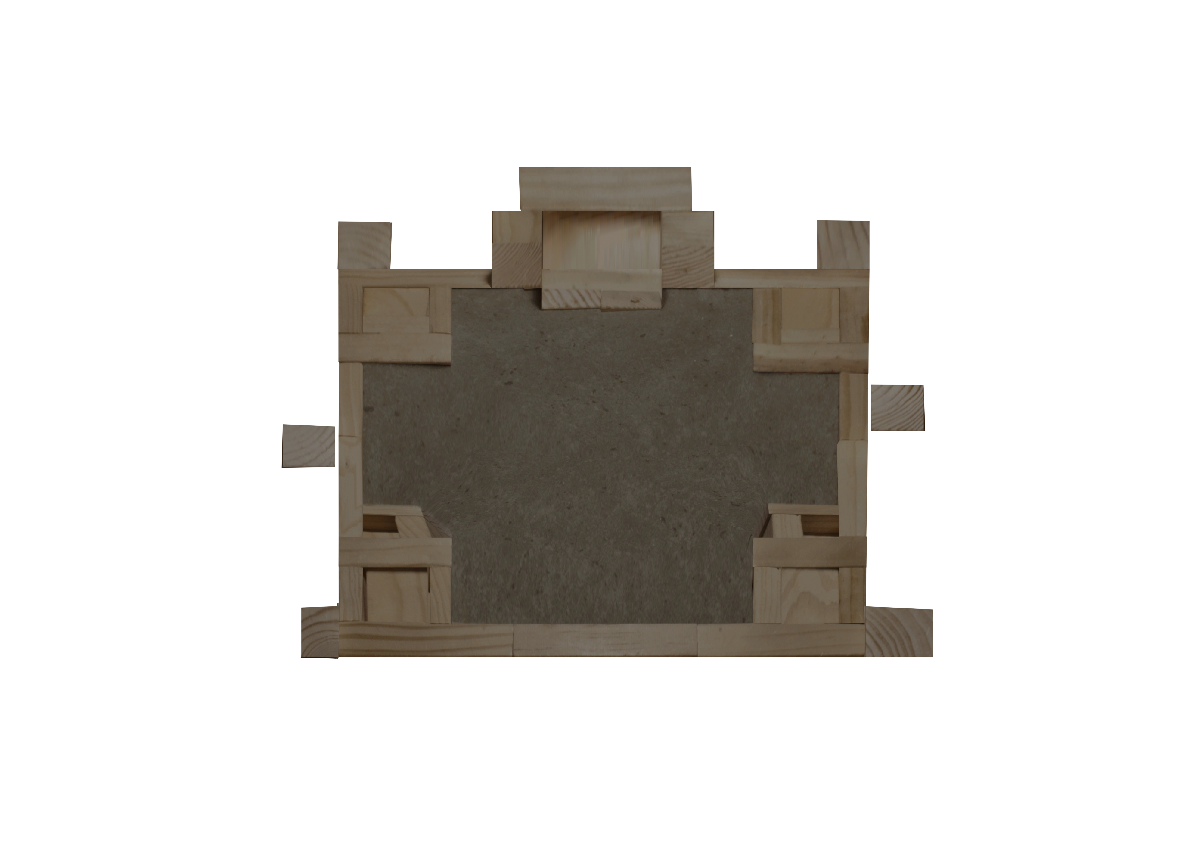
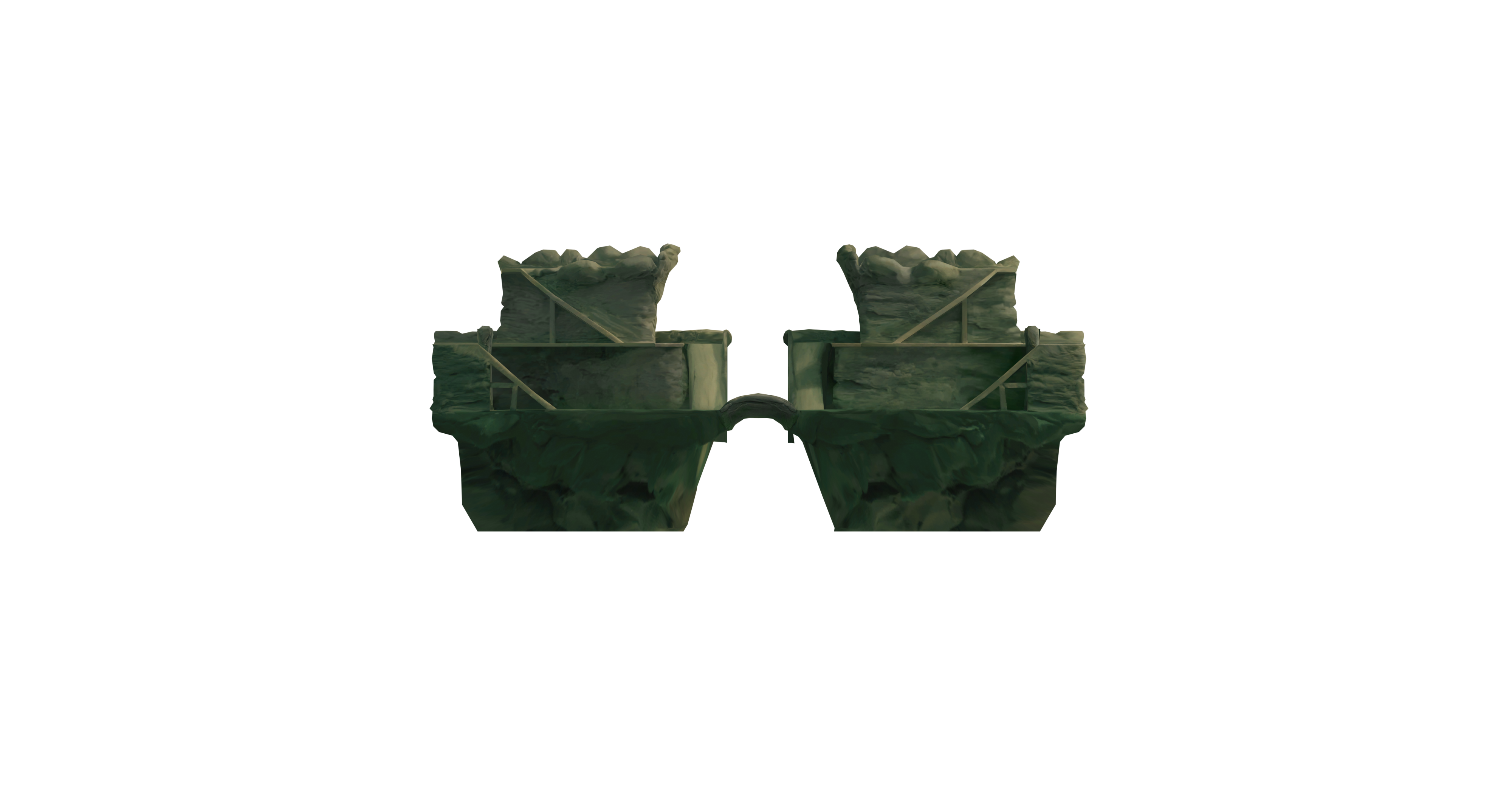
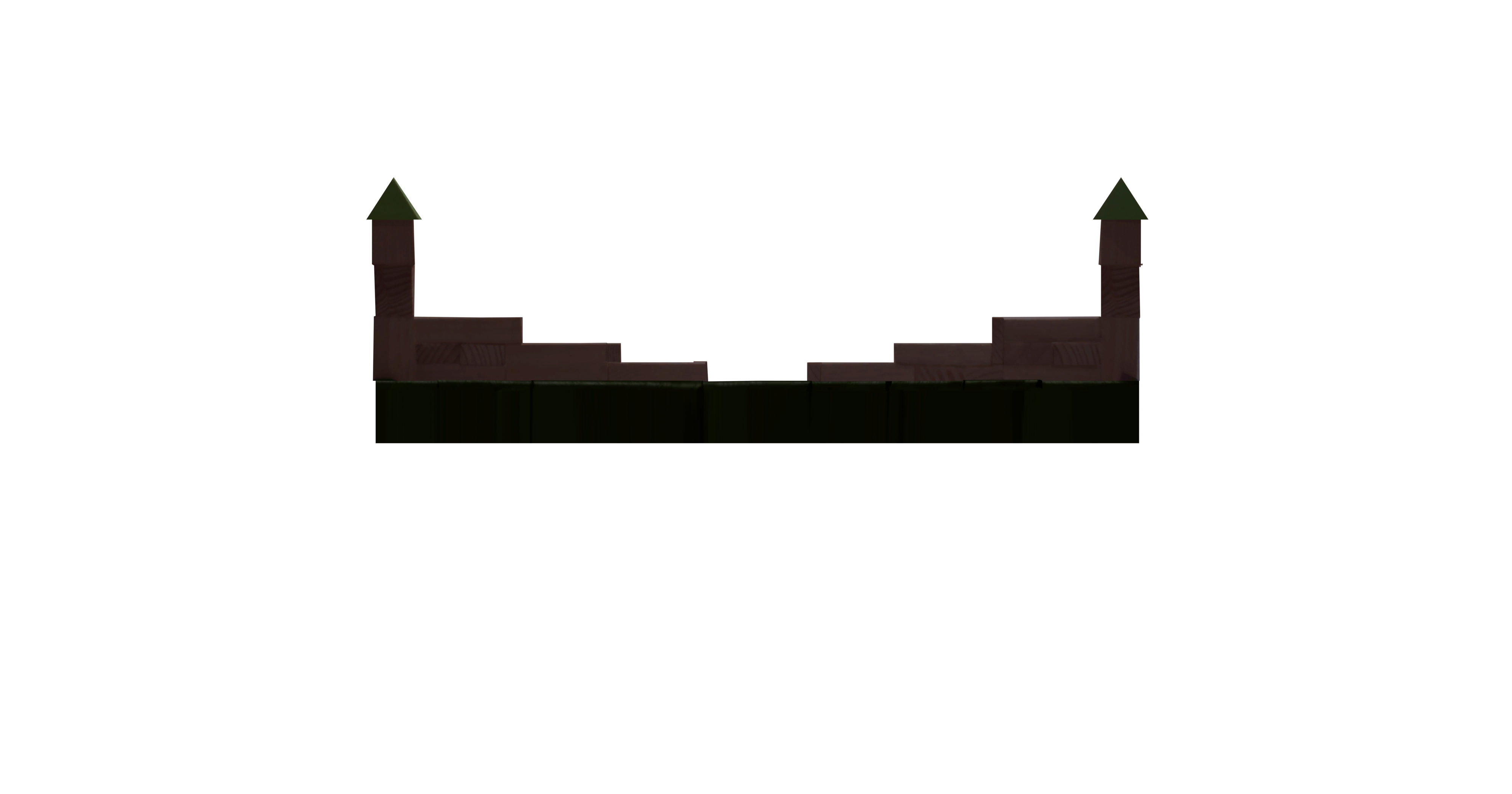
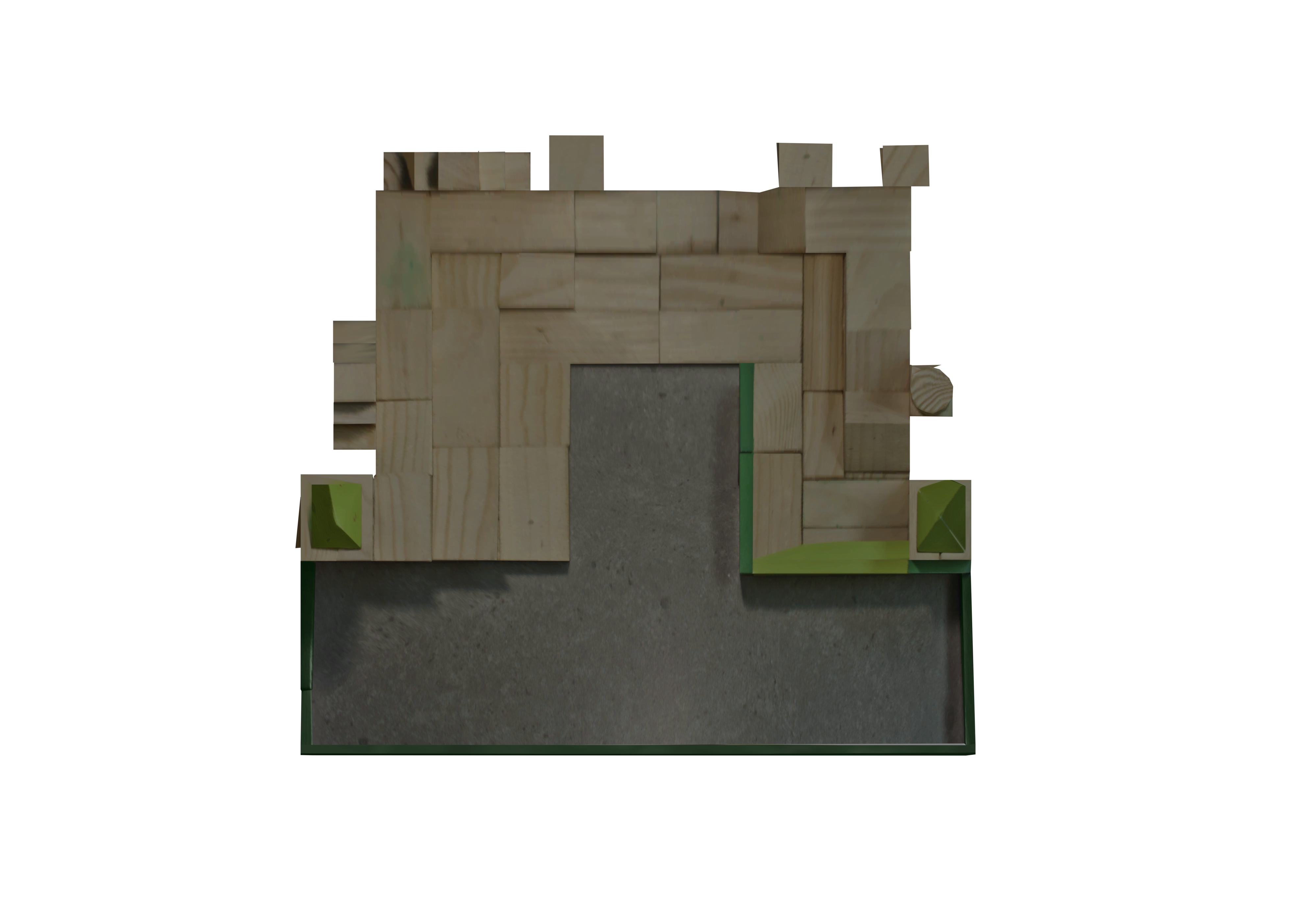
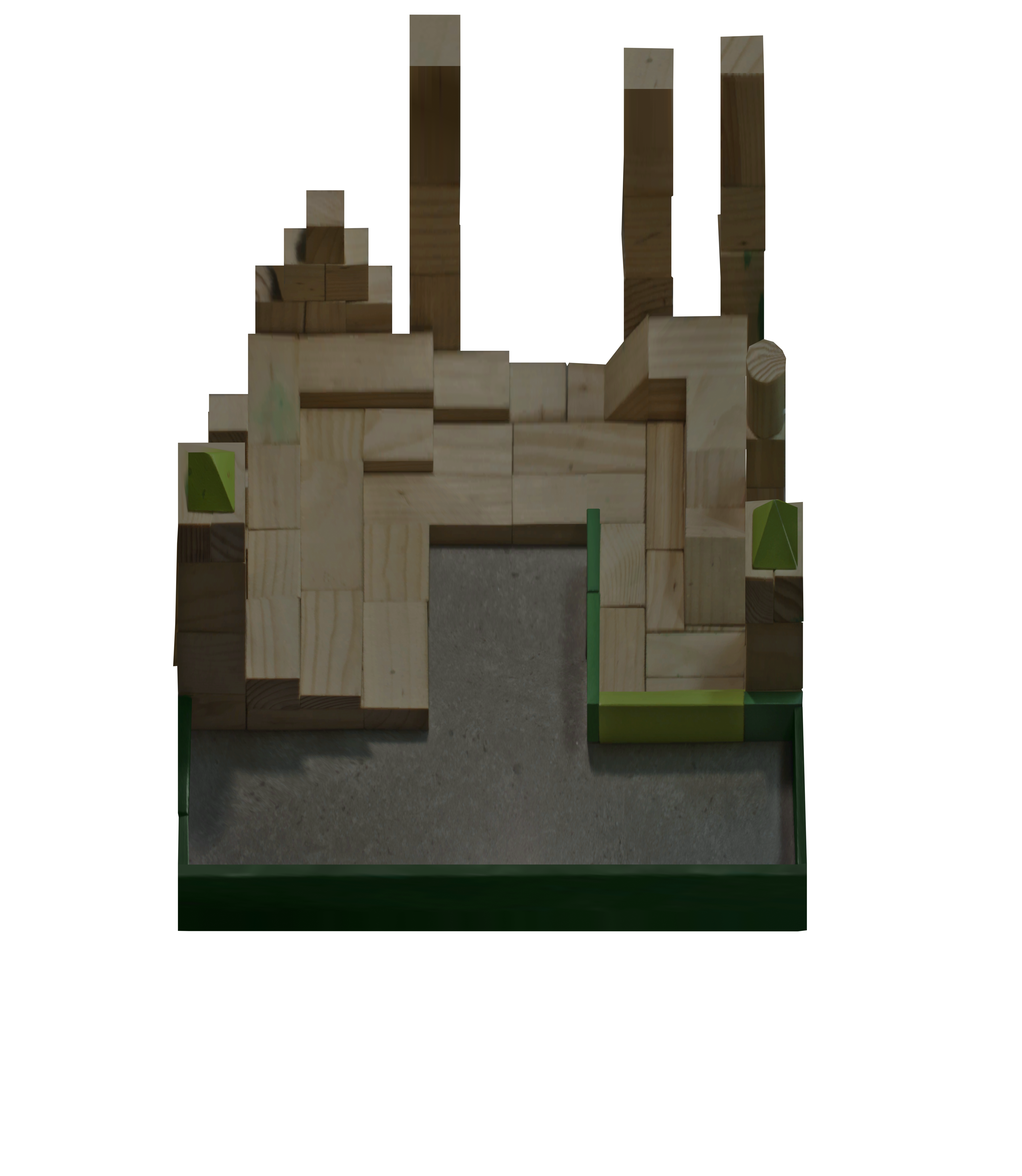
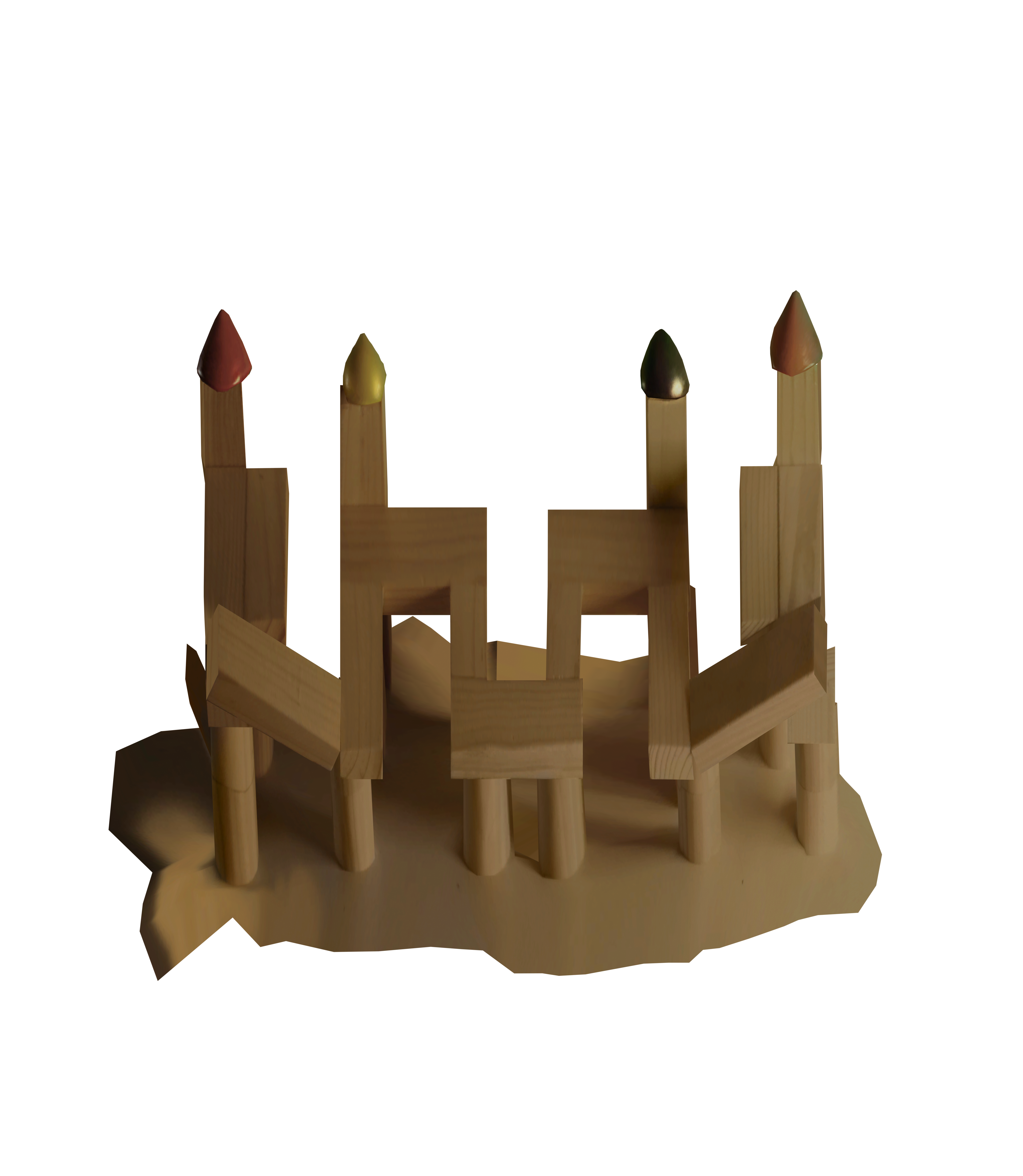
Crag Castle
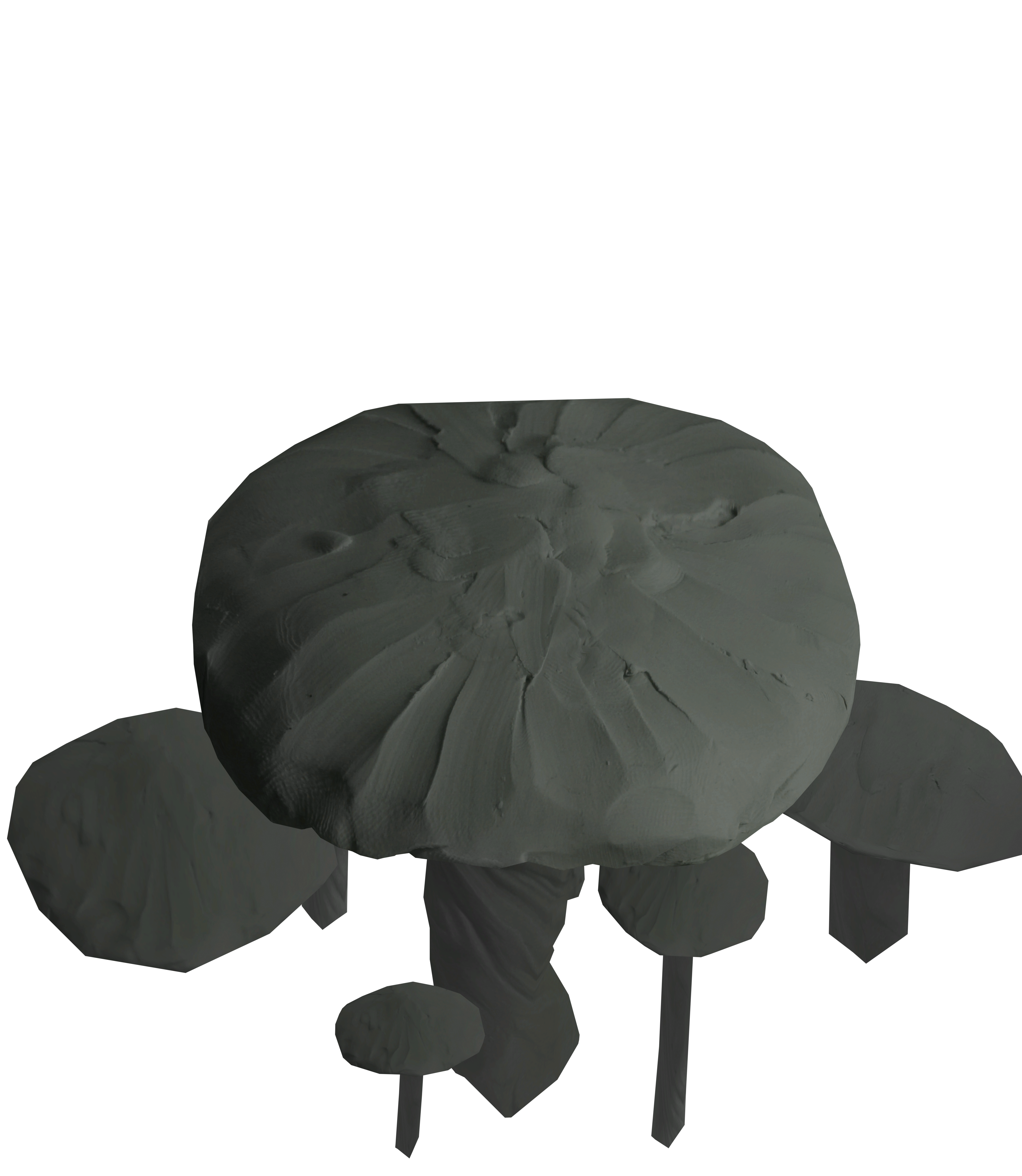
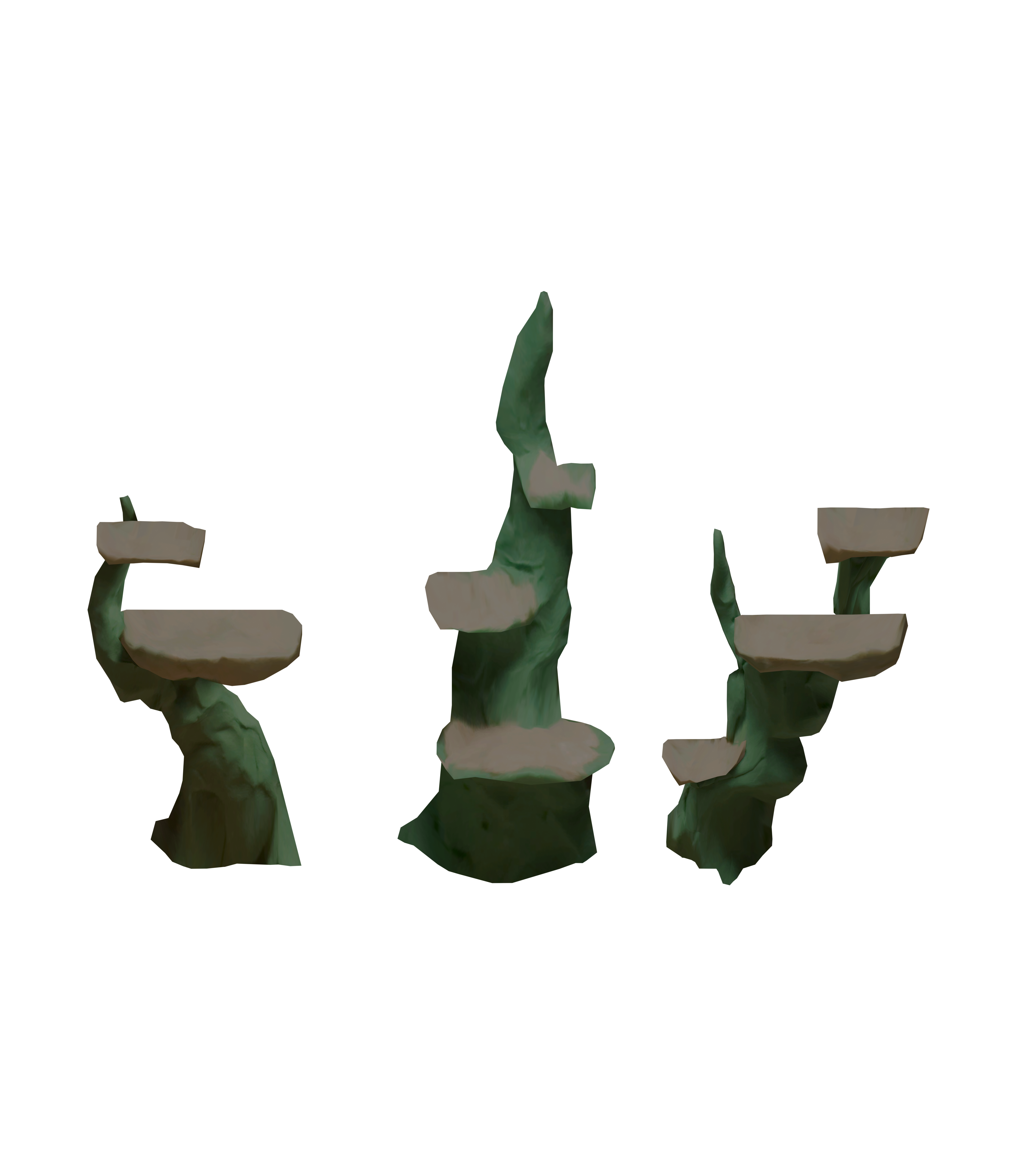
Doom Shroom

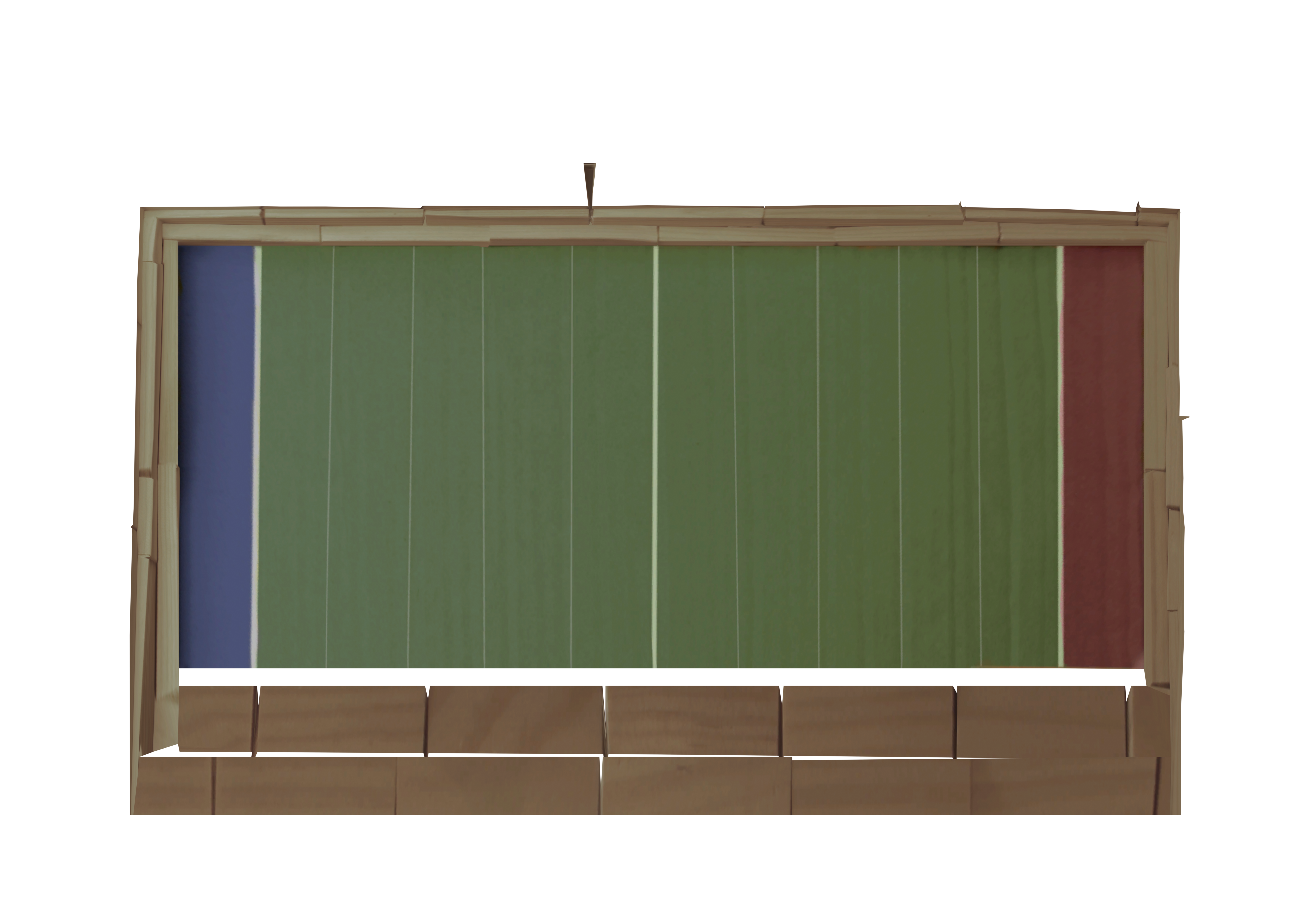
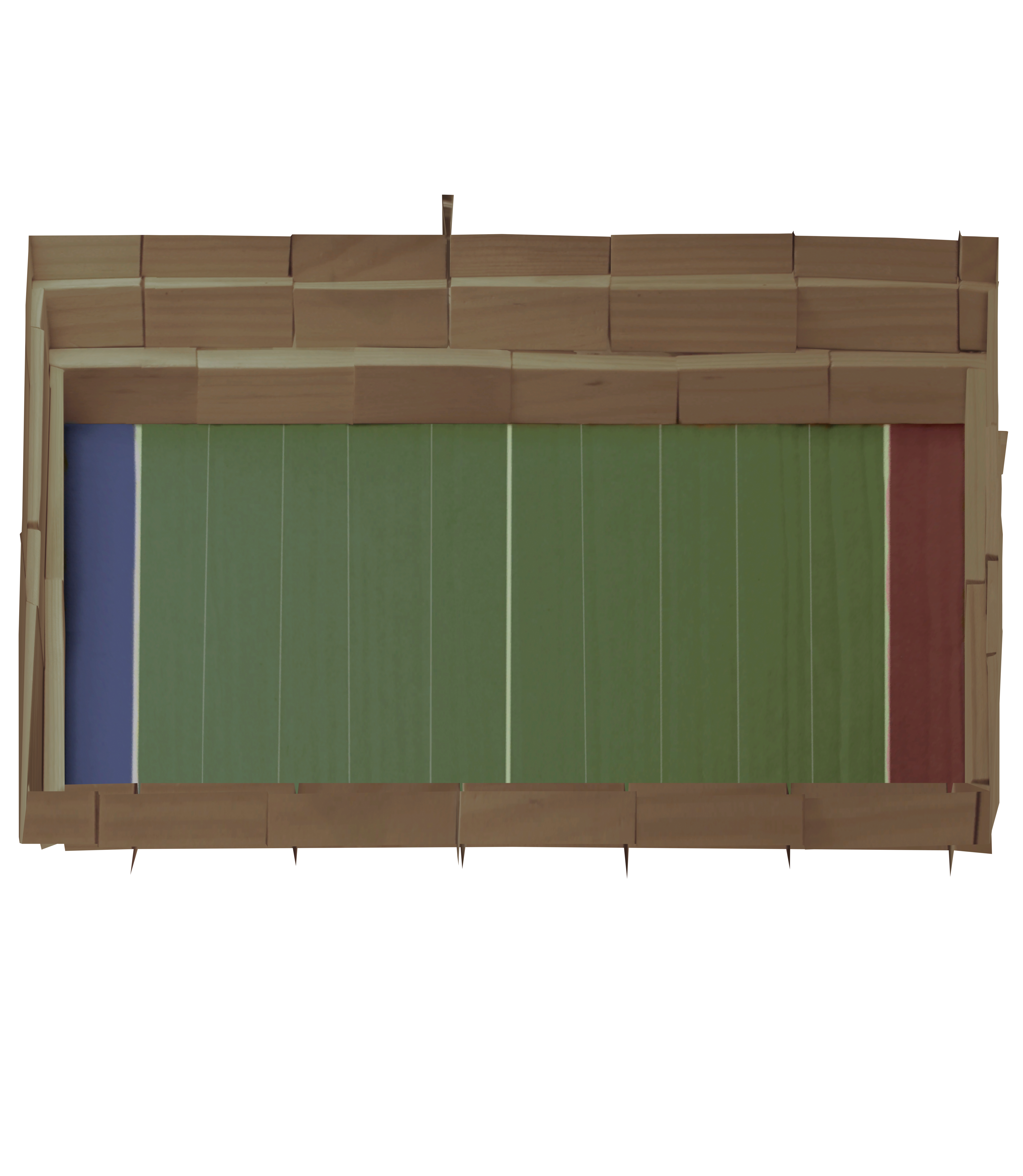
Football Stadium
Happy Thoughts

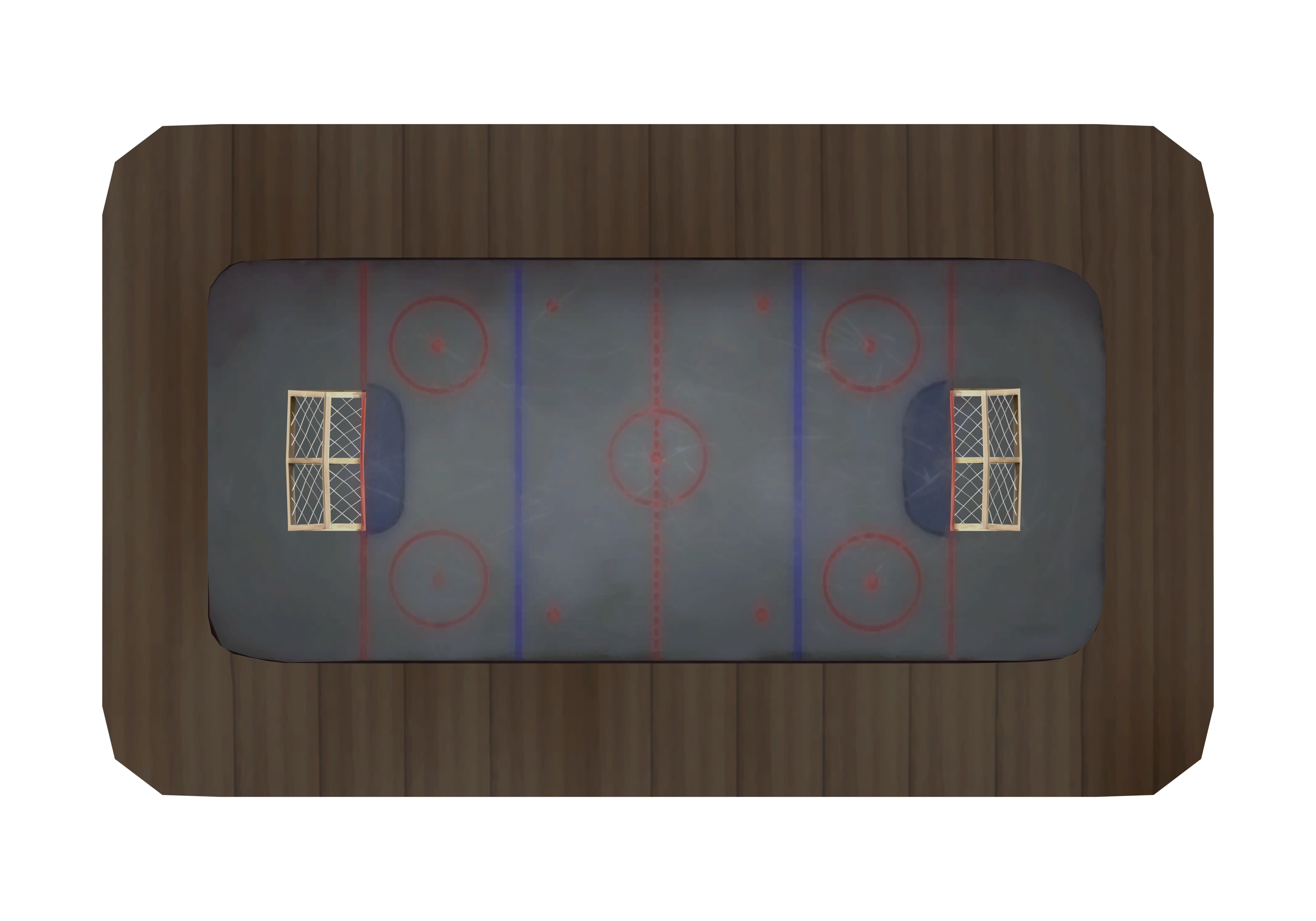
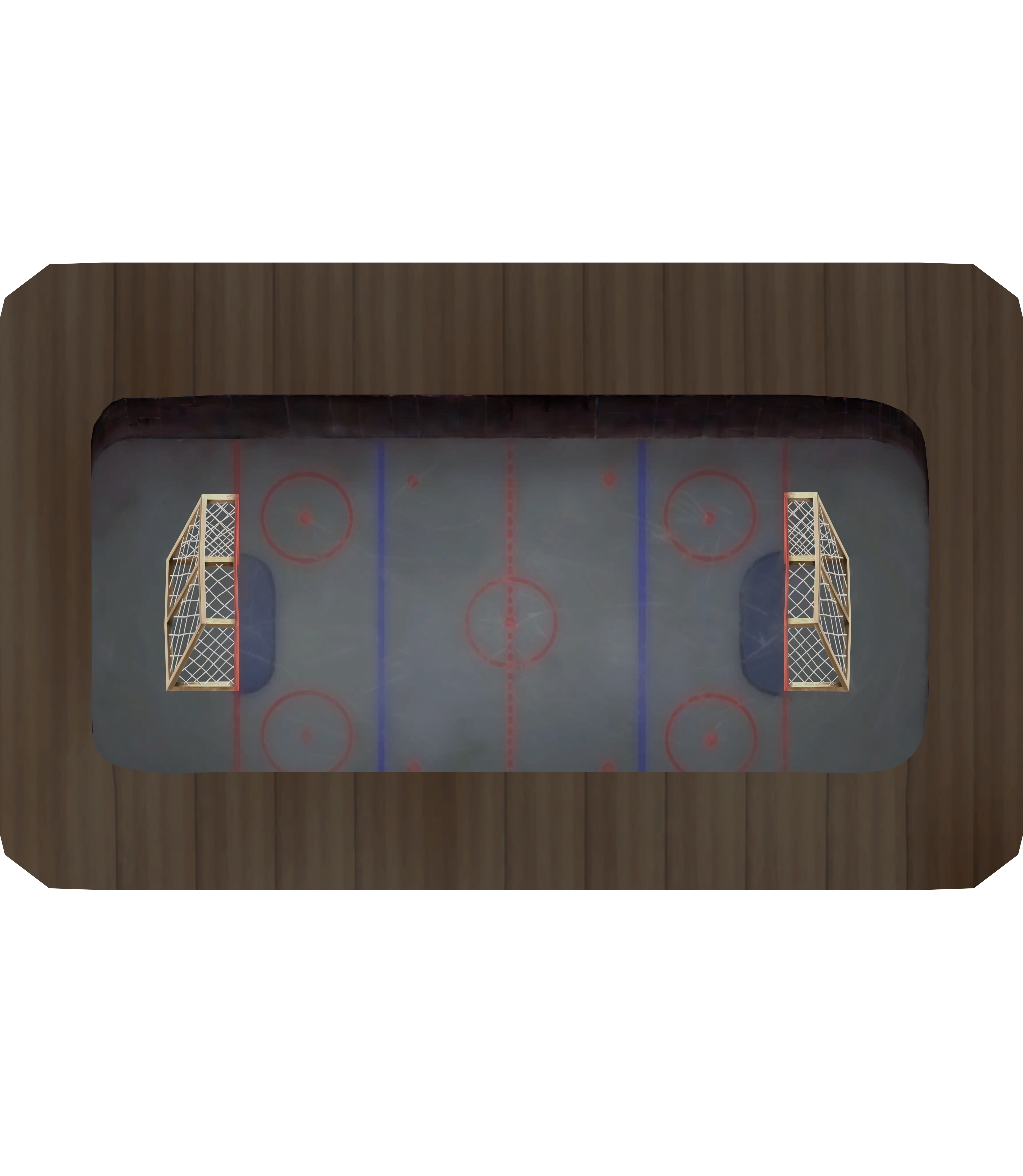
Hockey Stadium
Lake Frigid
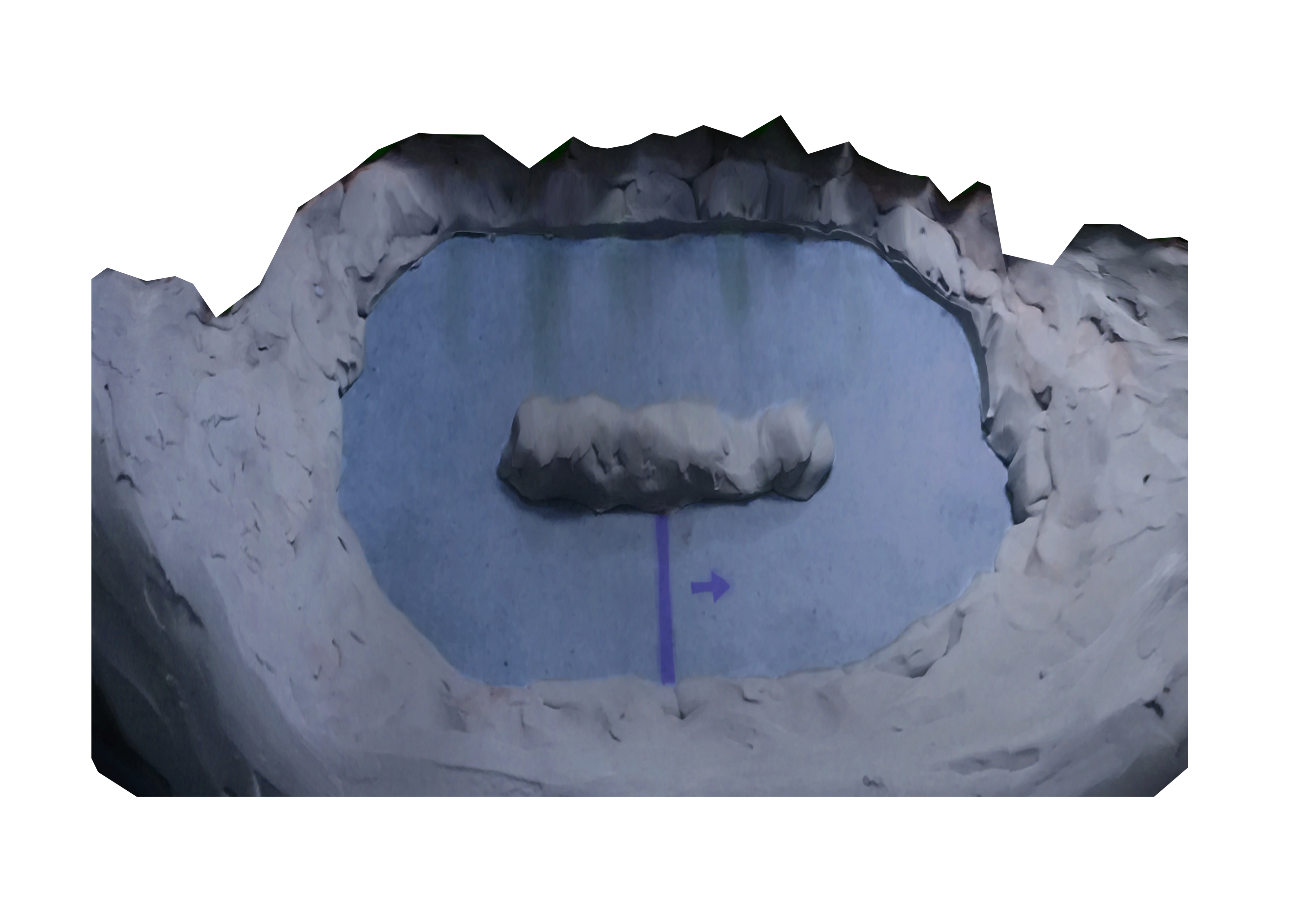
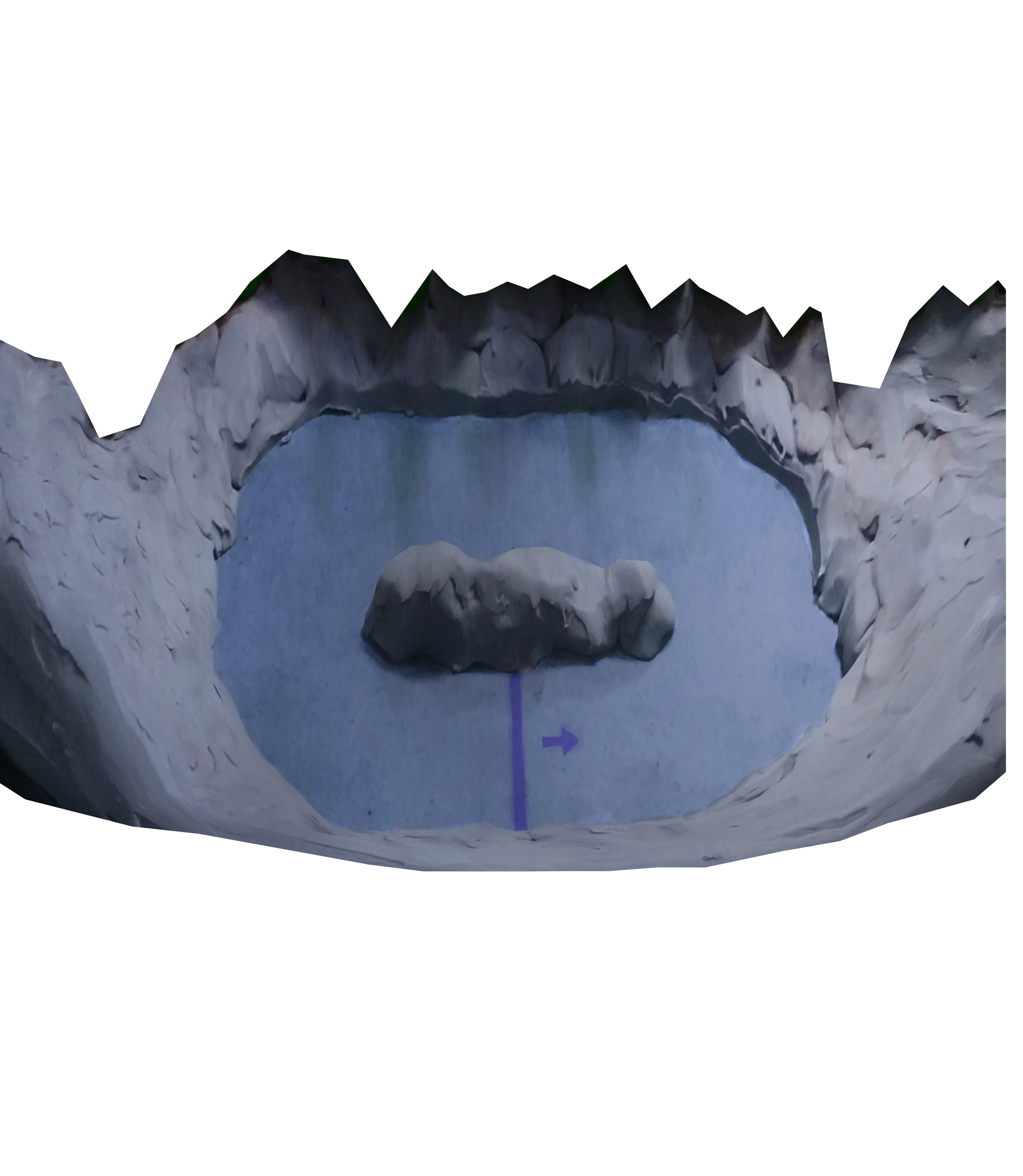
Monkey Face
Rampage
Roundabout

Step Right Up
The Pad
Tip Top
Tower D
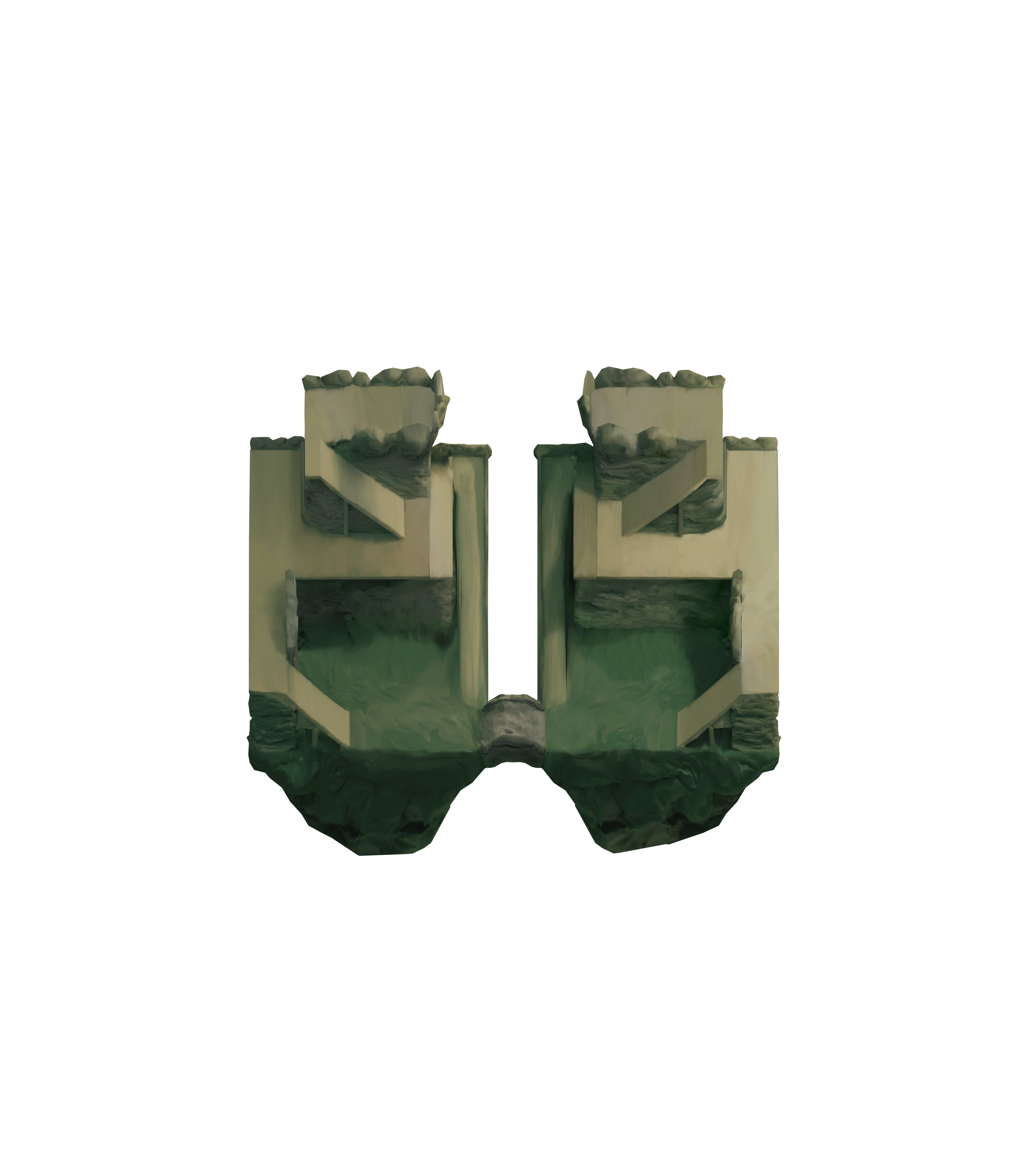
Zig Zag
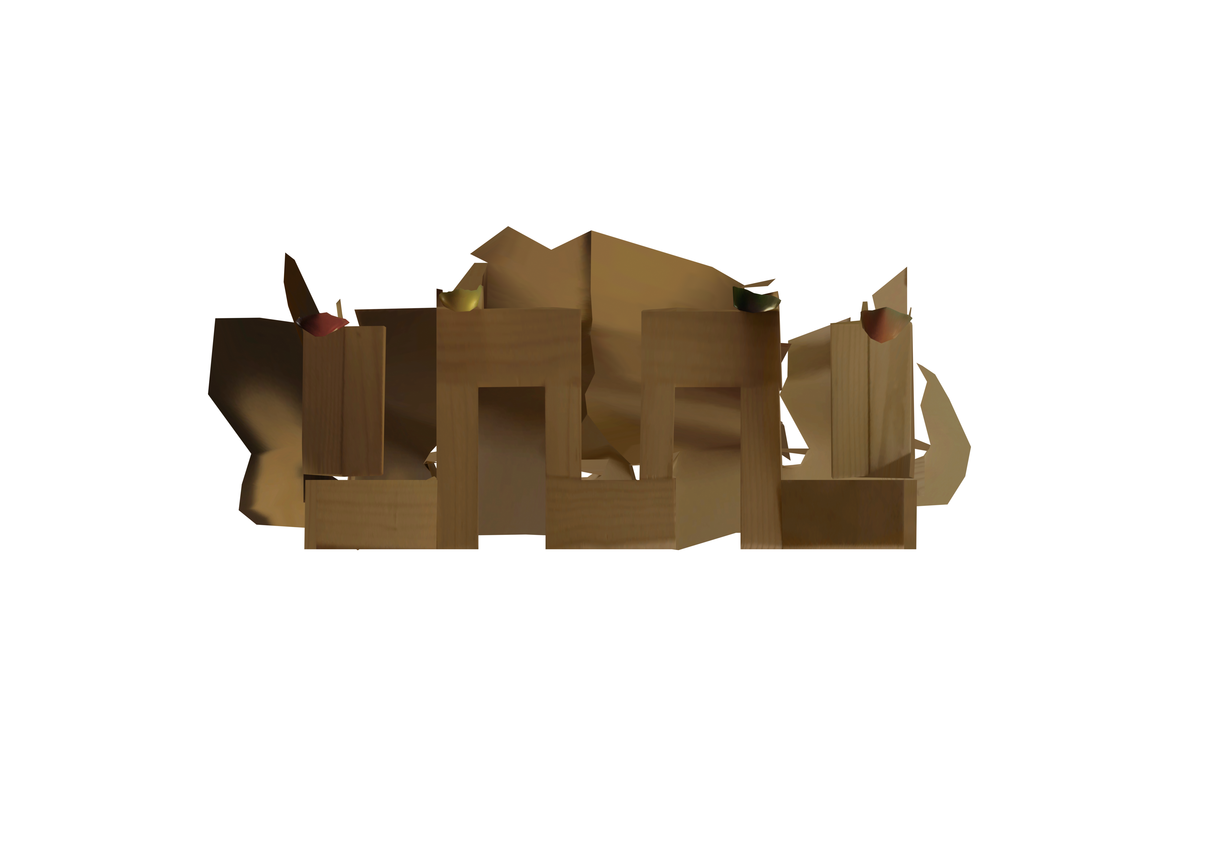

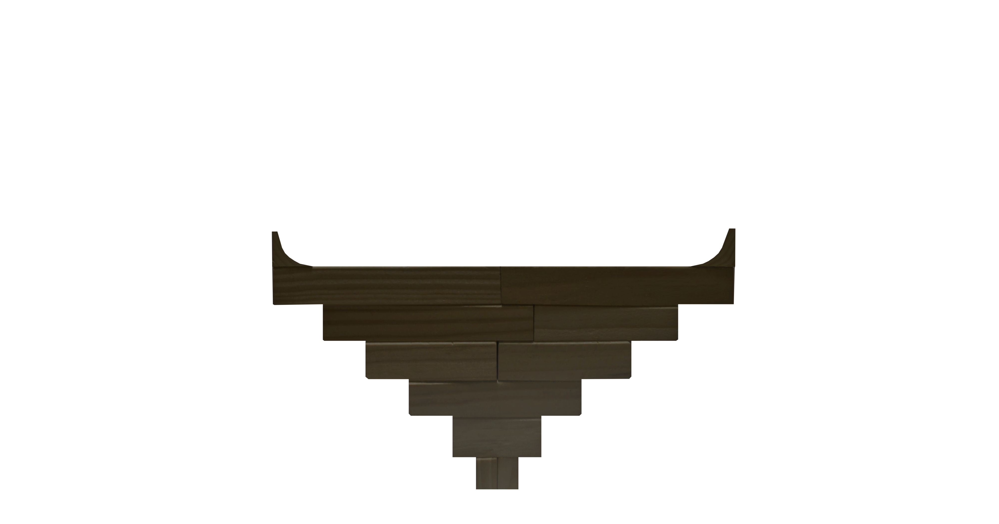
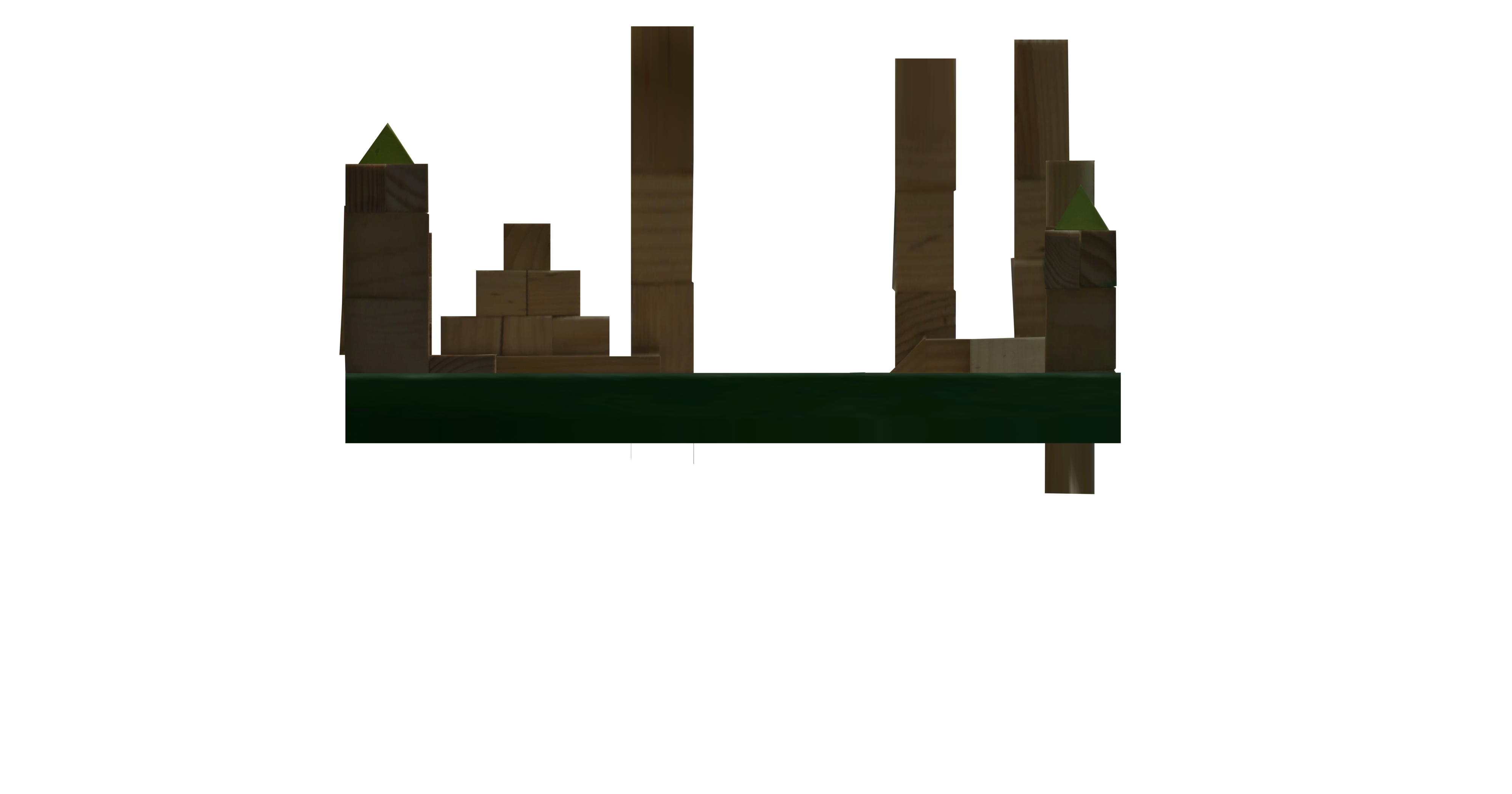
Combined
The combined view lets you compare features across all maps. The steps to import the combined projection is the same as before. Just set the image size to 106m.